- Chapter 1: Discover and get to know the Yukon
- Chapter 2: Should I choose to settle in the Yukon?
- Chapter 3: Getting to the Yukon
- Chapter 4: Getting started in the Yukon
- Chapter 5: Getting around the Yukon
- Chapter 6: Everything you need to know about living in Whitehorse
- Chapter 7: Everything you need to know about living in Dawson City
Discover and get to know the Yukon
Only a few diehard IEC permit holders will venture into a very remote region, inhospitable in certain areas. We’re talking about the Yukon (Whitehorse and Dawson)!
Located in the northwest of Canada, on the border with Alaska, the Yukon covers 480,000 km². It is the smallest of the three Canadian territories, after Nunavut and the Northwest Territories. The Yukon gets its name from the Yukon River.
The Yukon was originally one of the districts of the Northwest Territories. When the people of the Yukon wanted more representatives in bodies of power, Canada created the Yukon Act, which made it a territory in its own right.
The territory has been heavily influenced by the gold rush (particularly the Klondike gold rush in 1898). When the territory was created in 1898, the city of Dawson was the capital of the Yukon. In 1951, this was transferred to the city of Whitehorse.
Population in the Yukon

As of the last census in 2021, the Yukon had a population of 40,232. This represents just over 0.1% of Canada’s total population!
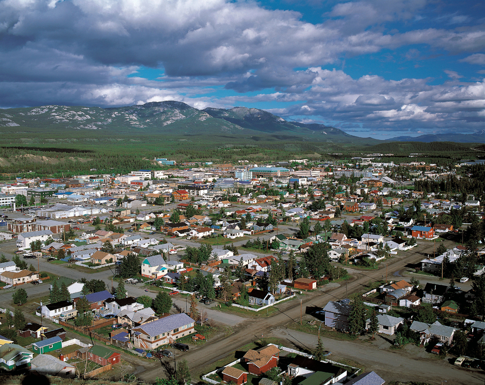
The largest city in the Yukon is Whitehorse, the territory’s capital. As of the 2021 census, the city had a population of 28,201. It is slowly growing each year.
The second municipality in Yukon is the city of Dawson, which is home to around 1,500 residents year-round (the population grows in summer, with the arrival of seasonal workers). Dawson attracted nearly 100,000 prospectors during the Klondike gold rush, between 1896 and 1899. Today, the city is best known for being an important tourist and historical destination.
There are also municipalities and settlements with populations of less than 1,000 people: Watson Lake, Marsh Lake, Haines Junction, Carmacks, Ibex Valley, etc.


 Français
 English


0 comments
{{like.username}}
Loading...
Load more